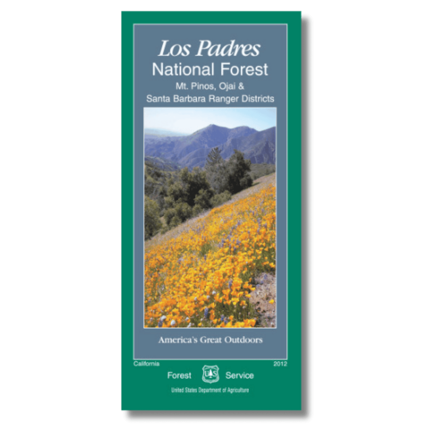
Los Padres National Forest Official Map - South
Los Padres National Forest Official Map - South
Couldn't load pickup availability
by U.S. Forest Service, 2012.
This classic map is printed by the U.S. Forest Service and is the official recreation map for the Los Padres National Forest. The forest is split into two different maps, and this map features the southern portion, including the Ojai, Mt. Pinos, and Santa Barbara Ranger Districts (Ventura, Kern, and southern Santa Barbara counties).
Waterproof and tear-proof, this map features all of the official trails, roads, trailheads, and campsites in the northern portion of the Los Padres National Forest. It also features many peaks, rivers, and other geographic features. No topo lines, but it does include shaded relief. Also features information on campgrounds (elevation, number of sites, reservations, facilities, and seasonal activities) plus general information about the area, points of interest, wilderness, wildlife, and regulations for hunting, fishing, wildfire safety, and other important information for forest visitors. Folded size 4" x 9", unfolds to approximately 27" x 48".
Share