1
/
of
1
San Rafael Wilderness Trail Map
San Rafael Wilderness Trail Map
Regular price
$11.00
Regular price
Sale price
$11.00
Unit price
/
per
Shipping calculated at checkout.
Couldn't load pickup availability
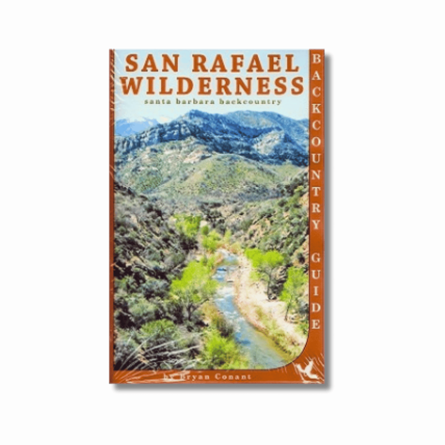
The San Rafael Wilderness is the main hiking, backpacking, and equestrian destination within Santa Barbara County. This durable, waterproof map covers all of the wilderness as well as much of the surrounding area including a large portion of the Dick Smith Wilderness, Little Pine Mountain, the Santa Ynez River Recreation Area, Figueroa Mountain, Upper Oso trailhead, Nira trailhead, La Brea Canyon, Colson Canyon, Madulce, Indian Creek trailhead, Cuyama Valley, and the mountains above Santa Maria. Folds to about 4x7 inches.
Updated in 2015, this map contains all-new trail conditions, elevations, camp locations, special geographic points of interest, and much more.
Updated in 2015, this map contains all-new trail conditions, elevations, camp locations, special geographic points of interest, and much more.
Share

