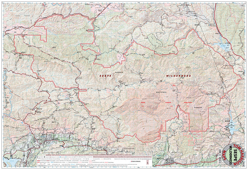
Sespe Wilderness Trail Map (2026)
Sespe Wilderness Trail Map (2026)
Couldn't load pickup availability
by Tom Harrison Maps, 2026. Scale 1:63,360 with 80-foot contours.
This durable, waterproof topo map features the entire Sespe Wilderness in Ventura County, the second largest wilderness area in Los Padres National Forest. Includes shaded elevation, hiking and bicycling trails, trail mileage, campgrounds, trail camps, and popular features like the Sespe Wild & Scenic River, the Gene Marshall – Piedra Blanca National Recreation Trail, Pine Mountain, Pothole Trail, Red Reef Trail, Rose Valley, hot springs, waterfalls, and others.
This updated version includes increased readability with darker trails and text, wider roads, and better visibility of mountain peaks above 6,000 feet. New, enhanced hill-shading makes the complex terrain of the wilderness easy to decipher. Created with the latest printing technology, brighter and stronger paper, and enhanced inks with a special curing process to ensure complete water-proofness.
Tom Harrison Maps publishes some of the best full-color, shaded-relief topographic maps for hiking, backpacking, and mountain biking in parks, forests, and wilderness areas in California.
Share