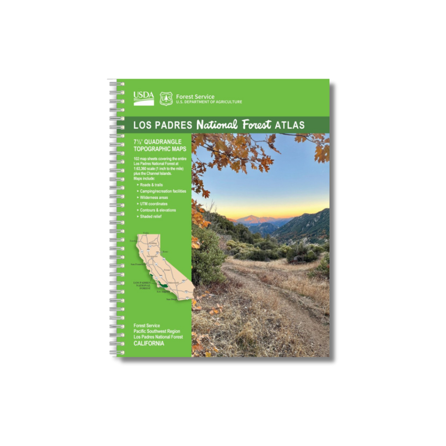
by U.S. Forest Service, 2024. Spiral bound, 112 pages.
Updated for the first time in a decade!
102 full-color topographic maps
Covers the entire Los Padres National Forest and Channel Islands National Park
Officially produced by the U.S. Forest Service, this recently-updated full-color atlas contains 102 topographic maps covering the entire Los Padres National Forest, plus another four topographic maps featuring the Channel Islands National Park. Shows roads, trails, streams, campsites, peaks, and major landmarks. Scale: 1" to the mile. Each map is 8.5x11 inches. An invaluable tool to plan your next adventure!