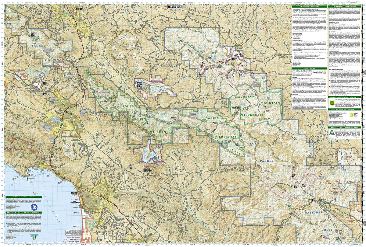
Los Padres National Forest Map - West
Los Padres National Forest Map - West
Couldn't load pickup availability
by National Geographic/Trails Illustrated, 2020.
Folded size 4.25" x 9.25", flat size 25.5" x 37.75".
Scale 1:80,000.
Waterproof • Tear-Resistant • Topographic Map
Explore the western portion of Los Padres National Forest—from Cuesta Ridge in San Luis Obispo County to the Santa Ynez River and the Santa Barbara backcountry—with National Geographic's Trails Illustrated map of Los Padres National Forest West.
- Created in partnership with local land management agencies, this expertly researched map highlights many key areas of interest including Santa Lucia Wilderness, Garcia Wilderness, Machesna Mountain Wilderness, San Rafael Wilderness, West Camino Cielo, Santa Ynez River Recreation Area, Lake Cachuma, Sisquoc Wild & Scenic River, Santa Margarita Lake Regional Park, and Figueroa Mountain.
- This map can guide you off the beaten path and back again with miles of mapped trails.
- To take in the scenery by car, this map features Scenic Highway 154 as it traverses San Marcos Pass toward Lake Cachuma and the Santa Ynez Valley wine country in Santa Barbara County, plus scenic stretches of Highway 58 towards Carrizo Plain and Highway 166 toward Cuyama Valley.
Many recreation features are noted as well, including campgrounds, trailheads, horse camps, disc golf, boat launches, and fishing, windsurfing, and swimming areas. The map base includes contour lines, shaded relief, and elevations for summits, passes, and many lakes.
Every Trails Illustrated map is printed on "Backcountry Tough" waterproof, tear-resistant paper. A full UTM grid is printed on the map to aid with GPS navigation.
Other features found on this map include: Arroyo Grande, Avila Beach, Buellton, Cuyama River, El Capitan Beach, Gaviota, Goleta, Irish Hills, La Panza Range, Lake Cachuma, Las Cruces, Los Alamos, Los Olivos, Nipomo, Oceano, Pismo Beach, Point San Luis, Purisima Hills, Refugio, San Luis Obispo, San Luis Obispo Bay, San Luis Obispo County, San Rafael Mountains, Santa Barbara County, Santa Margarita, Santa Margarita Lake, Santa Ynez, Sierra Madre Mountains, Sisquoc River, Solvang, Tajiguas, Timber Peak.
Share