1
/
of
1
Matilija & Dick Smith Wilderness Trail Map
Matilija & Dick Smith Wilderness Trail Map
Regular price
$11.00
Regular price
Sale price
$11.00
Unit price
/
per
Shipping calculated at checkout.
Couldn't load pickup availability
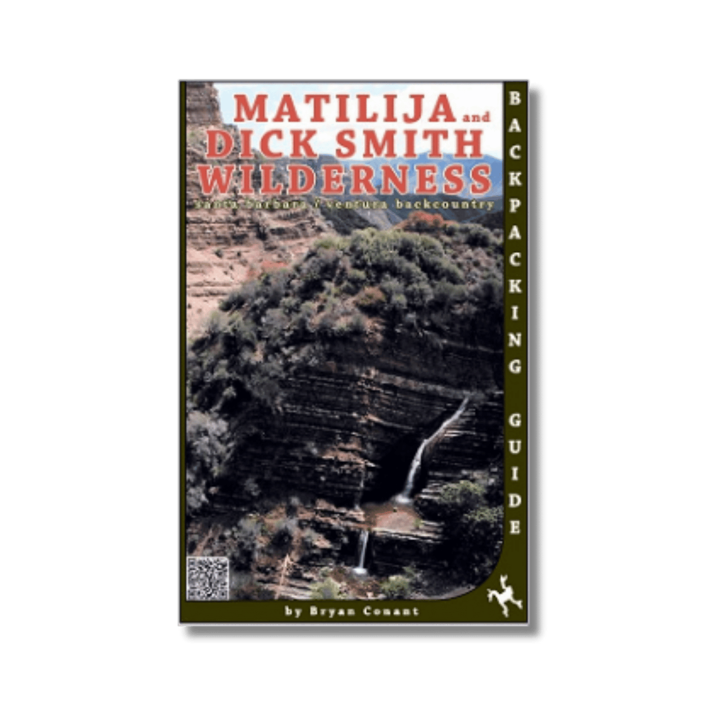
by Bryan Conant, 2013.
This durable, waterproof map shows all of the trail conditions, elevations, camp locations, and mileages throughout the Dick Smith and Matilija wilderness areas in the Santa Barbara & Ventura backcountry. Includes the Zaca Fire perimeter and information, shaded mountain relief with labeled contour lines.
Map also includes portions of the San Rafael and Sespe wildernesses, the Ojai and Santa Barbara frontcountry, Highway 33 corridor, Pine Mountain, Santa Ynez River trail system, Wheeler Gorge, Agua Caliente, East Camino Cielo, Cuyama and much more. The back of the map includes trail descriptions, elevation profiles, local history and additional photographs. Folds to about 4x7 inches.
Share